A teacher’s perspective
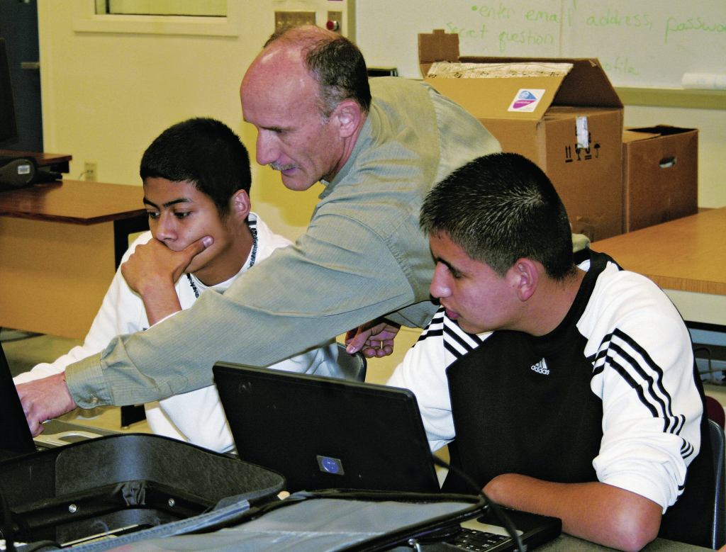
At Colton High School, in Colton, Calif., Bruce Ingram teaches a GIS-specific class that has become quite popular among students. The class conducts investigations that actually apply to students’ lives. The students recently used GIS technology to navigate what areas throughout the school campus received strong or weak cell phone reception signals. There’s a great importance in capturing a student’s imagination. Once students become curious in a subject matter, nothing will hold them back from learning more.
“Working with GIS allows students to use critical thinking skills by analyzing, investigating, and presenting ideas developed by specific data that actually affect our everyday lives,” says Ingram.
Even though Ingram has been teaching GIS for about seven years, his knowledge of the technology has multiplied since he began working with GeoMentor Laura Bowden, a K-16 program coordinator at Esri. Bowden says the secret to the success of the mentorship was what she found in Ingram, a teacher who is willing to have a reciprocal relationship where both parties are listening to each other’s needs.
“It was a rewarding experience to have the opportunity to work with a teacher, and to find out how GIS was being used to help students learn, so we could provide opportunities that keep giving back,” says Bowden.
—Kelly Crost