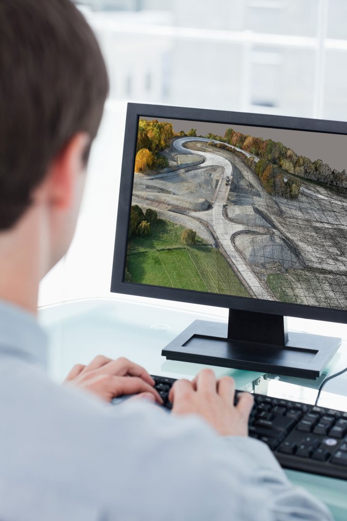
The system designed for mapping, construction and surveying professionals to quickly turn simple photographs and/or point cloud data into true-to-life, highly detailed 3D models for use throughout a project lifecycle.
The package will include Topcon ContextCapture Standard and Topcon ContextCapture Advanced. The standard package will be bundled with Falcon 8, and Sirius Basic/Pro and allows operators to process data from these UAS into textured 3D reality meshes, point clouds and orthophotos.
ContextCapture Advanced allows users to process data from any UAS. It also includes ContextCapture Editor, which enables operators to take advantage of all project data by integrating reality meshes and point clouds, into infrastructure workflows. The result is access to a wide variety of reality modeling tools to help increase productivity.
The ContextCapture Advanced integration includes CAD, inspection, GIS, civil engineering, and survey workflows on desktop and mobile devices, in multiple formats.