


LaDOTD
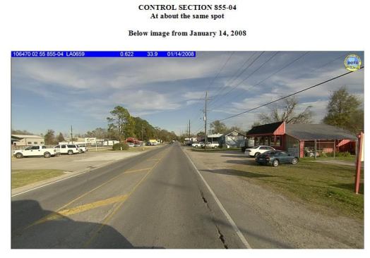
That same section of road three years later. Note asphalt cracki…
Driving the initiative downward
In addition to eliminating potential duplication of effort by nine districts, centralizing data makes it easy to cost-effectively integrate new information.
As Fugro’s ARAN platform has evolved, the agency’s been able to add new and more-detailed data streams. Collection from the same platform ensures that all data streams are fully synchronized onboard and conform to the same quality control.
A 2012 FHWA memo allowed state DOTs to spend State Planning and Research (SP&R) funds, without match, for this purpose. The waiver was in place for fiscal years 2013-15.
LaDOTD used its allocation to collect data on 120,000 miles of city and county roads and turn the PMS into an Enterprise LRS. In addition to a high-definition photolog providing a 360-degree view of the highway, the agency’s latest Fugro contract includes GPS and elevation data, road geometrics, lengths, alignments, and features that can improve safety. Fugro uses its proprietary Surveyor software to extract required Highway Performance Monitoring System (HPMS) asset data such as number of lanes, posted speed limit, toll type, shoulders, widths, median type, sections with toll charge, and HOV lane type.
Landmarks like churches, courthouses, cemeteries, fire stations, and schools are also being mapped. Agency employees use Surveyor to extract these other asset types using the ROW photos.
“We saw the need to clean up our basemap data early on,” says Chapman. “We were picking up power lines, trails, and private roads with previous mapping, and needed eyes on the road to help.”
Next page: Prioritizing safety improvements