


LaDOTD
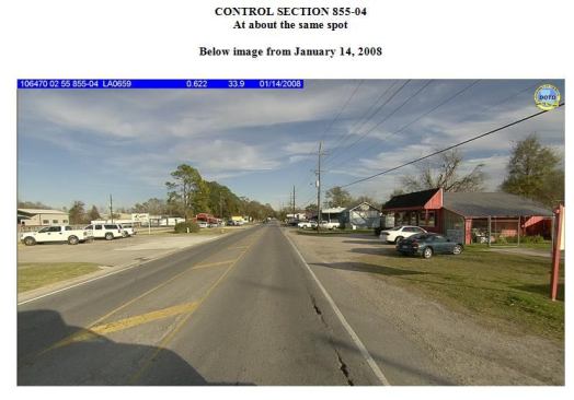
That same section of road three years later. Note asphalt cracki…
Prioritizing safety improvements
By analyzing attributes, such as the narrowing of a road or school location, the agency can use data to inform emergency planning and prioritize safety improvements.
“In implementing an Enterprise LRS, we’re using advancements in GIS technology and software to manage our inventory of roadways and attributes,” Chapman says. “With this in place, other geospatial data can be referenced to a consistent basemap.”
The agency’s ultimate goal is to create an easy-to-use data clearinghouse so that ‘on the fly’ reporting can be done in a browser-based environment via GIS webpages. To do this, the agency is migrating to Fugro’s web-based iVision application.
“We want to make viewing more intuitive, so you can pull up different data layers, such as traffic flow, for any location instead of looking up separate tables,” Chapman says. “It’ll make it simpler to use and more efficient, and users will need less interpretation support. QA/QC processes also benefit because we can check things faster with web-based software.”
The goal is to roll out iVision to district offices and then cities and counties.
“Municipalities will be able to submit their own edits, making it even more useful for them,” says Chapman.
David Lowe is the managing director of Fugro Roadware. For more information, visit www.fugroroadware.com; e-mail roadware@fugro.com.